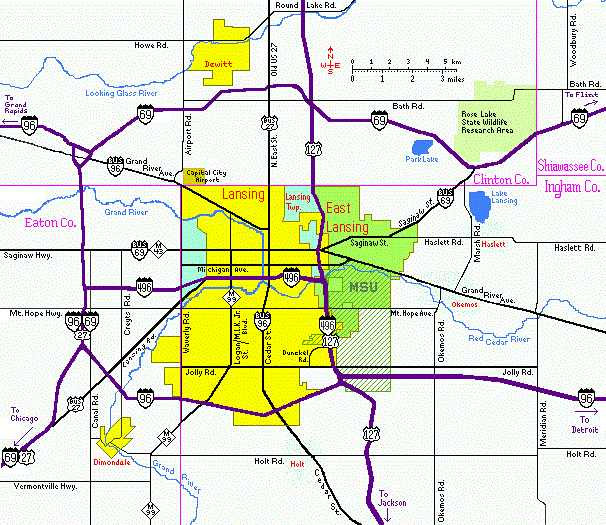
Lansing/East Lansing, Michigan Area Map
This is a low-resolution map showing the area around Lansing and East Lansing, Michigan, including all Interstate highways and most major surface streets. For a higher resolution interactive map, try Google Maps.
Other links: